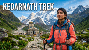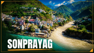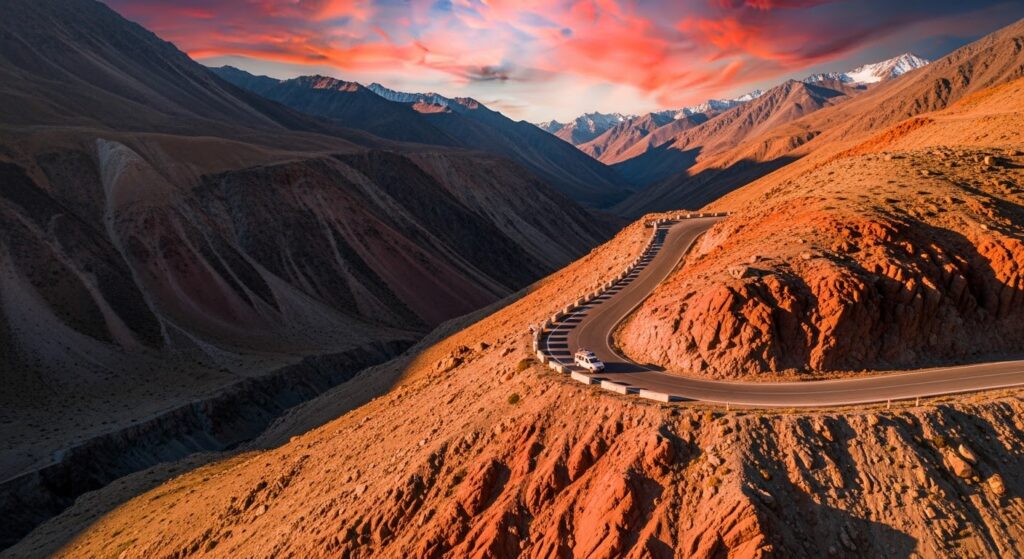
The journey from **Haridwar to Sonprayag and onward to Kedarnath** is not an ordinary road trip. It is a transition from the plains into one of India’s most dynamic mountain environments, where steep valleys, unstable slopes, monsoon rainfall, narrow roads and rapidly changing weather can all influence the journey. For pilgrims travelling toward Kedarnath, the adventure becomes even more demanding after reaching Gaurikund, where the road journey gives way to a steep mountain trail leading to the temple at approximately 3,583 metres.
The safest way to approach this journey is not to think about conquering the mountains. It is to understand them. Road conditions can change within hours during the monsoon, and a route that appears completely safe when you leave Haridwar can be affected by rockfall, mud, water or a landslide later in the day. Good planning therefore means combining route knowledge with flexibility and the willingness to stop when conditions become unsafe.
Understanding the Haridwar to Kedarnath Route
The broad journey follows the Himalayan river valleys from Haridwar toward Rishikesh, Devprayag, Srinagar, Rudraprayag, Guptkashi, Phata and Sonprayag. From the Sonprayag area, pilgrims continue toward Gaurikund and then begin the mountain journey to Kedarnath.
The elevation changes dramatically during the journey. Haridwar is approximately 314 metres above sea level, while Rishikesh is around 372 metres. Devprayag is approximately 830 metres, Rudraprayag around 895 metres and Guptkashi approximately 1,319 metres. Sonprayag is around 1,820–1,830 metres and Gaurikund approximately 1,980 metres. Kedarnath rises much higher, to approximately 3,583 metres.
The final section is therefore not simply a long walk. From Gaurikund to Kedarnath, the elevation gain is approximately 1,600 metres, making altitude and gradient as important as the actual distance.
Why the Haridwar–Sonprayag Road Requires Caution
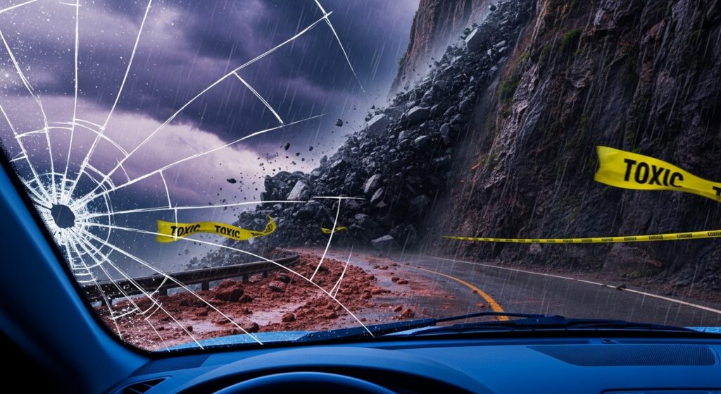
The mountain road is constantly influenced by rainfall, drainage, slope stability and traffic. During the monsoon, water can penetrate mountain slopes, loosen soil and rock and increase the possibility of rockfall or landslides. Streams can suddenly become stronger, while mud and debris can appear on roads that were clear only a short time earlier.
This is why travellers should avoid planning the journey with the same precision they might use for a normal highway trip. A fixed arrival time can become unrealistic when the road is affected by weather or temporary closures.
Before leaving Haridwar, check current weather warnings, road conditions, pilgrimage advisories and information from local authorities. Weather applications and satellite maps can help you understand the larger weather system, but they cannot guarantee that an individual mountain slope is safe.
Learn to Read the Mountain
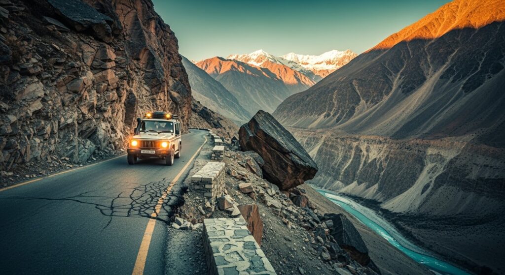
You do not need to be a geologist to notice that a mountain environment is changing. Freshly broken rocks on the road, newly exposed soil, cracks near the road edge, sudden water seepage, fresh mud and repeated small rockfalls should all make you more cautious.
A few stones lying on the road do not automatically mean that a major landslide is about to happen. The important factor is whether there has been a recent change and whether the amount of debris appears to be increasing.
Fresh loose rock accumulated on a slope is another reason to maintain caution. Do not stop directly beneath an unstable-looking cliff simply to take photographs. In the Himalayas, the safest viewing point is always one that keeps you away from the potential path of falling material.
Rain Does Not Have to Be Falling for a Slope to Be Dangerous
One of the most important monsoon lessons is that the danger does not necessarily disappear when rainfall stops. Water can continue moving through soil and fractured rock after a period of heavy rain, and drainage conditions can change well after the skies become clearer.
For this reason, a sunny morning does not automatically mean that every road ahead is safe. Local road conditions and official information remain more important than the appearance of the sky at your departure point.
Choose Daylight for Difficult Mountain Sections
There is no universally guaranteed “safe hour” for Himalayan roads. Mountain conditions can change at any time. Nevertheless, daylight generally provides better visibility and makes it easier to identify rockfall, water crossing the road, damaged pavement, fallen trees, roadwork and temporary diversions.
Avoid deliberately reaching difficult mountain sections late at night simply to save time. If authorities have stopped traffic because of a landslide or road damage, do not attempt to bypass the closure after dark.
Keep Your Eyes Above the Road
Mountain driving requires a different visual habit from city driving. Instead of concentrating only on the asphalt directly ahead, look at the road, the approaching bend and the slope above it.
Before entering a blind curve, reduce speed, use the horn where appropriate and expect another vehicle to appear. Look for loose material above the road and avoid stopping beneath obvious rockfall areas.
A completely empty road does not mean that the next bend is safe. A bus or truck may emerge suddenly, or debris may have fallen around the corner.
Never Race Through Water or Debris
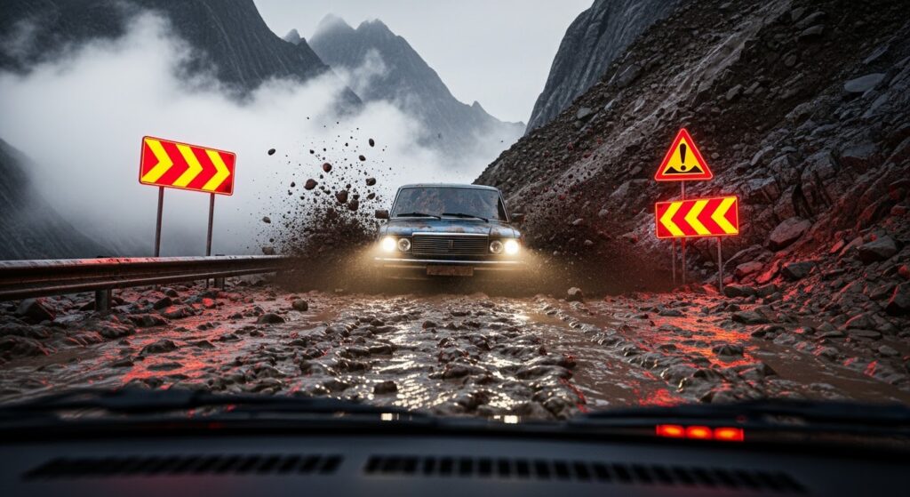
A small stream of muddy water crossing the road can be deceptive. It may conceal rocks, erosion, damaged pavement or a deeper channel. The flow can also increase rapidly if rainfall occurs higher up the mountain.
If water or debris is moving across the road, stop at a safe distance and assess the situation. If the flow is increasing, do not attempt to cross it. If authorities have closed the road, never interpret another vehicle’s decision to cross as permission to do the same.
Conditions can change between two vehicles.
Mountain Braking Requires Planning
Long mountain descents place significant demands on a vehicle’s braking system. Continuously holding the brake pedal can generate excessive heat and reduce braking effectiveness.
Use an appropriate lower gear so that engine braking assists with speed control. Slow down before entering a bend rather than waiting until you are already in the corner. Maintain a generous gap from the vehicle ahead and never coast downhill in neutral.
For automatic vehicles, use the manufacturer’s recommended low-gear or hill-descent functions where appropriate.
The basic principle is simple: **control the speed before the corner, not in the middle of it.**
Wet Roads Change the Equation
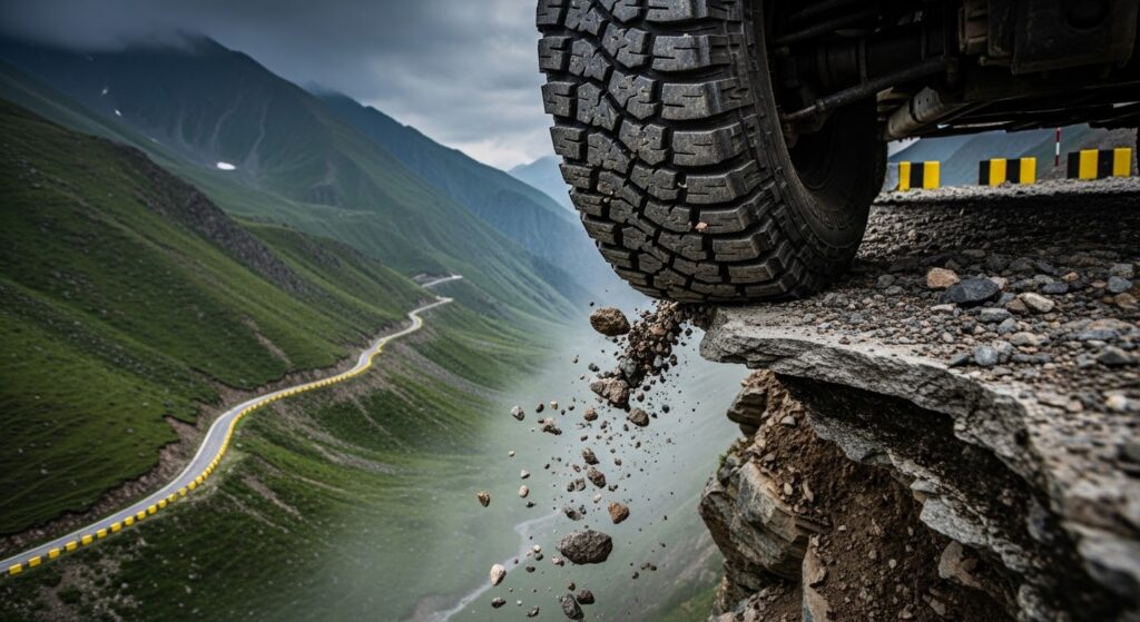
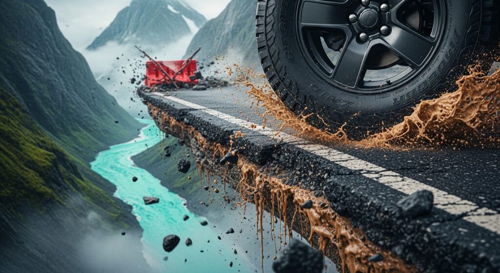
Monsoon roads can contain water, mud, gravel, fine sediment and fallen vegetation. Even a properly paved road can become slippery when covered by wet material.
Drive more slowly, increase following distance and avoid sudden steering, harsh acceleration or aggressive braking. On steep descents, appropriate gear selection becomes even more important.
Give Heavy Vehicles Plenty of Space
Buses and trucks require more space to brake, turn and negotiate narrow mountain sections. Avoid overtaking near blind bends, hairpins or locations where visibility is poor.
Never attempt to squeeze between two large vehicles on a narrow section. Maintain enough distance to see beyond the vehicle in front of you and to react if it suddenly stops.
Know the Difference Between GO and NO-GO
One of the most important skills in Himalayan travel is knowing when not to proceed.
Active rockfall, a major fresh landslide, rapidly increasing mudflow, fast-moving water, road collapse, severe visibility problems or an official road closure should be treated as reasons to stop.
Do not allow hotel reservations, pilgrimage plans or return transportation to pressure you into continuing through unsafe conditions.
A missed reservation can be changed. A mountain hazard cannot be negotiated by determination.
Listen to Local Road Workers
Local authorities, police and authorized road crews often have the most current information about temporary road conditions. If you encounter a closure or diversion, ask whether the road is officially open, whether traffic is being released in stages and whether the temporary route is currently operating.
Avoid relying solely on rumors from other travellers. Information passed between vehicles can become outdated very quickly in the mountains.
Do Not Try to Predict a Landslide From Sound Alone
There are many stories about particular sounds supposedly indicating an imminent landslide. Such claims should not be treated as a reliable warning system.
Instead, look for several warning signs together: fresh rockfall, cracking, ground movement, new water discharge, fresh debris, road deformation, prolonged rainfall and official warnings.
If multiple indicators appear together, increase your safety margin immediately.
Where Should You Wait?
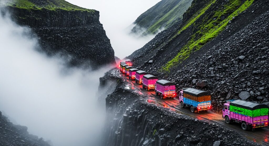
If traffic has stopped because of a landslide or road-clearance operation, do not simply stop wherever the queue ends.
Avoid waiting directly beneath steep rock faces, beside fast-flowing rivers, on blind curves, near drainage outlets or beneath obvious debris channels.
Follow the instructions of authorities and road workers and use designated safe waiting areas whenever possible.
Prepare the Vehicle Before Leaving Haridwar
Mountain safety begins before reaching the mountains. Check the brakes, tyres, spare tyre, battery, wipers, lights, horn, coolant, engine oil and fuel level before departure.
Carry a first-aid kit, torch or headlamp, power bank, drinking water, food, rain protection, warm clothing and basic puncture equipment. Keep important documents and identification easily accessible.
A minor mechanical problem that is manageable in a city can become a serious inconvenience on a narrow Himalayan road.
From Sonprayag to Gaurikund
Once you reach the Sonprayag area, the nature of the journey changes. The road journey gives way to the pilgrimage route toward Gaurikund and then the mountain trail to Kedarnath.
Gaurikund is approximately 1,980 metres above sea level. Kedarnath is approximately 3,583 metres. The difference is roughly 1,600 metres.
The trail is commonly described as approximately 16–18 kilometres depending on the route and measurement used. It should not, however, be imagined as 16 kilometres of continuous stairs.
The trail is a combination of constructed and paved sections, stone and concrete surfaces, steps, uneven rocky sections and mountain paths. There are also forested stretches and sections that can become wet and slippery during the monsoon.
It is therefore more accurate to describe it as a **steep, engineered mountain pilgrimage trail with paved, stepped, rocky and forested sections** rather than calling it either a continuous staircase or a jungle trek.
Walking Versus Taking a Pony
For a group of three, the decision to walk or take a pony does not have to be identical for everyone.
In our case, two travellers may prefer the convenience of ponies, while one member of the group is determined to complete the journey on foot. That can be a perfectly reasonable arrangement if the walker is an experienced mountain trekker and is physically prepared for the distance, gradient and altitude gain.
Being a woman or having a smaller build does not automatically make someone less capable of completing the trek. **Mountain experience, fitness, pacing and the ability to recognize one’s own limits are much more important factors.**
An experienced trekker may actually prefer walking because it allows her to control her own pace, choose rest points and remain physically engaged with the trail.
At the same time, being a good trekker does not mean refusing to change plans. Weather, trail conditions, altitude and physical condition should always have the final say.
A Mixed Strategy Can Work Well
The two pony riders and the walker can begin the journey together, but they should not necessarily maintain exactly the same pace.
If the walker is faster, she can move ahead and arrange a clearly understood meeting point. If she is slower, the pony riders should wait periodically rather than leaving her isolated.
The walker should carry only a light daypack. Heavy luggage should not be carried unnecessarily on a long uphill journey.
The group should also agree beforehand that if weather deteriorates or the walker’s physical condition changes, she can switch to another available option rather than feeling that she has to prove something.
The Most Important Rule for the Walker
A strong trekker should pay attention to symptoms that go beyond ordinary exertion.
Unusual breathlessness, severe headache, dizziness, confusion, vomiting, marked weakness or difficulty walking normally should not simply be dismissed as tiredness.
At higher altitude, unusual symptoms deserve attention and appropriate medical assessment.
The goal is not to prove that you can finish the trail at any cost.
The goal is to reach Kedarnath safely.
A Practical 22–26 August 2026 Plan for Three Travellers
The five-day structure provides a sensible balance between pilgrimage and recovery.
22 August — Haridwar
Arrive in Haridwar and use the day to rest, organize luggage, check the weather and confirm the next day’s transportation.
Keep the luggage for Kedarnath as light as possible. Separate unnecessary belongings so that they do not have to be carried into the higher-altitude section.
Spend the night in Haridwar.
23 August — Haridwar to Sonprayag
Begin the road journey toward Sonprayag through the Garhwal Himalayas.
The broad route passes through Rishikesh, Devprayag, Srinagar, Rudraprayag, Guptkashi and the surrounding mountain corridor before reaching Sonprayag.
Do not treat the journey as a race. Monsoon conditions, traffic, roadwork and temporary closures can significantly affect travel time.
Spend the night at Sonprayag.
24 August — Gaurikund to Kedarnath
Begin early.
Travel from Sonprayag toward Gaurikund and prepare for the final mountain journey.
Two members of the group can use authorized pony services while the experienced trekker begins the ascent on foot.
The walker should maintain a comfortable pace rather than trying to match the speed of the pony riders.
The route rises from approximately 1,980 metres at Gaurikund to around 3,583 metres at Kedarnath. Because the altitude gain is substantial, a steady pace with regular short breaks is better than repeated bursts of fast climbing.
Reach Kedarnath, complete the pilgrimage activities and spend the night there.
25 August — Kedarnath to Sonprayag
After completing the Kedarnath visit, begin the return journey.
The two pony riders can use the authorized pony service again if available, while the experienced trekker can walk back if conditions and her physical condition remain suitable.
The return is not necessarily easier than the ascent. Downhill walking can put significant stress on the knees, particularly on steps and uneven surfaces.
After reaching Gaurikund, continue toward Sonprayag and spend the night there.
This overnight stop is important because it avoids combining the Kedarnath descent with another long Himalayan road journey.
26 August — Sonprayag to Haridwar
Begin the return road journey toward Haridwar.
Keep this day flexible because monsoon conditions can affect the road at any point.
If the route is temporarily blocked, waiting may be safer than trying to find an unofficial bypass.
Packing for the August Journey
For the monsoon journey, waterproof protection is essential. Carry a good rain jacket, quick-drying clothing, extra socks, comfortable footwear and a warm layer for Kedarnath.
The walker should carry a small backpack containing water, snacks, personal medicines, a basic first-aid kit, rain protection, a power bank and essential documents.
A waterproof bag or rain cover is useful for protecting phones, documents and clothing.
Do not overload the walker with luggage simply because she has chosen to walk.
The Himalayan Safety Mindset
The most important rules for this journey are straightforward.
Never challenge an active landslide. Never cross rapidly moving water or debris. Follow official road closures. Do not assume another vehicle’s decision makes a crossing safe. Use appropriate lower gears on steep descents. Brake before mountain bends. Maintain distance from buses and trucks. Avoid stopping beneath unstable slopes. Keep your schedule flexible during the monsoon. And if conditions look wrong, wait.
The Himalayas do not reward impatience.
Conclusion: Travel With the Mountain, Not Against It
The journey from **Haridwar to Sonprayag, Gaurikund and finally Kedarnath** combines a demanding mountain road journey with a substantial high-altitude pilgrimage.
The road section requires patience and continuous observation. The Gaurikund–Kedarnath section requires physical preparation, appropriate pacing and respect for the altitude.
For a group of three, there is no requirement for everyone to travel in exactly the same way. Two people can use ponies while an experienced mountain trekker walks. What matters is that the group remains connected, carries sensible equipment and is prepared to change the plan when weather or physical conditions demand it.
The most experienced trekker is not necessarily the person who walks the fastest or refuses every alternative.
It is the person who understands the mountain well enough to know when to continue—and when to stop.
**In the Himalayas, reaching the destination is important. Reaching it safely is everything.**