Has the road to Kedarnath really become safer and faster in 2026—or are the Himalayas still in control?
Every year, thousands of pilgrims begin their journey to Kedarnath from the plains of Uttarakhand. The route from Haridwar through Rishikesh, Devprayag, Srinagar, Rudraprayag, Guptkashi, Phata and Sonprayag has been transformed over the past several years.
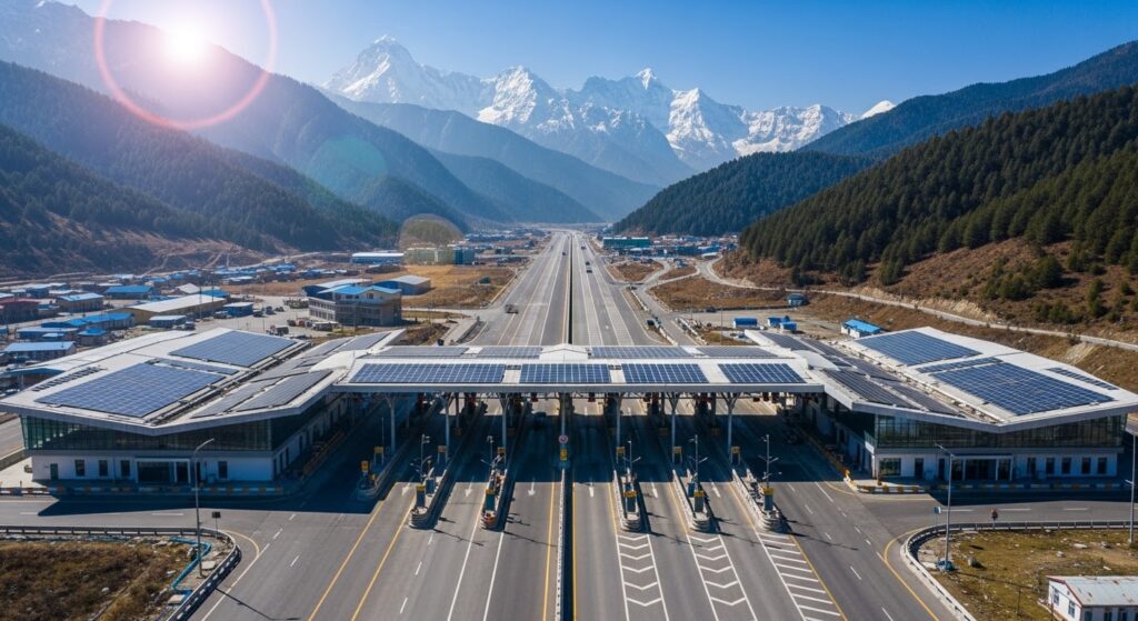
New bridges, widened sections, tunnels, slope-protection works and bypasses are changing the experience of travelling through the Garhwal Himalayas.
But there is a fundamental question that infrastructure alone cannot answer:
Can engineering eliminate the risks created by Himalayan geology and monsoon weather?
The answer for 2026 is more complicated than simply calling the road “safe” or “unsafe.”
The corridor is significantly better in many sections than it was a decade ago. Yet landslides, falling rocks, road damage, cloudbursts and sudden weather events remain genuine possibilities.
For pilgrims planning a Kedarnath journey in 2026, understanding that distinction is essential.
From Haridwar to Sonprayag: The Gateway to Kedarnath
The road journey begins in the relatively comfortable environment of the plains.
From Haridwar to Rishikesh, travellers encounter a developed highway network and relatively easy driving conditions.
Beyond Rishikesh, the character of the journey changes.
The road enters the Himalayan foothills and then follows the deeply carved valleys of the Alaknanda and Mandakini systems.
The broad journey is:
Haridwar → Rishikesh → Devprayag → Srinagar → Rudraprayag → Agastyamuni → Kund → Guptkashi → Phata → Sitapur → Sonprayag
Sonprayag is particularly important for Kedarnath pilgrims because it is the principal road-access point before the journey continues toward Gaurikund, from where the approximately 17-km Kedarnath trek begins.
The journey therefore isn't simply a highway trip.
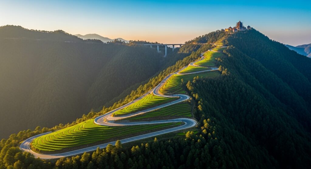
It is a transition from India’s plains into one of the most geologically sensitive mountain environments in the country.
The Char Dham Corridor Transformation
The Char Dham road infrastructure programme has dramatically changed sections of Uttarakhand’s mountain road network.
The objective has been straightforward:
- improve connectivity
- reduce travel bottlenecks
- strengthen vulnerable road sections
- improve access for pilgrims and residents
- construct bridges and protective structures
- improve emergency response
- provide more reliable all-weather connectivity
But building roads in the Himalayas is fundamentally different from building roads across flat terrain.
A mountain road isn't simply constructed once and forgotten.
The slope is constantly interacting with:
- rainfall + groundwater + rock structure + erosion + traffic + earthquakes + temperature changes.
- That is why a newly widened road does not automatically mean a permanently stable road.
The Himalayan Monsoon Test
For the 2026 pilgrimage season, the monsoon remains one of the biggest variables.
A road can be perfectly usable in the morning and become temporarily blocked later in the day following a landslide or debris flow.
This is particularly important around the upper reaches of the journey toward Sonprayag.
The most dangerous assumption a traveller can make is:
“The road is a national highway, so it must remain open.”
Mountain roads don't work that way.
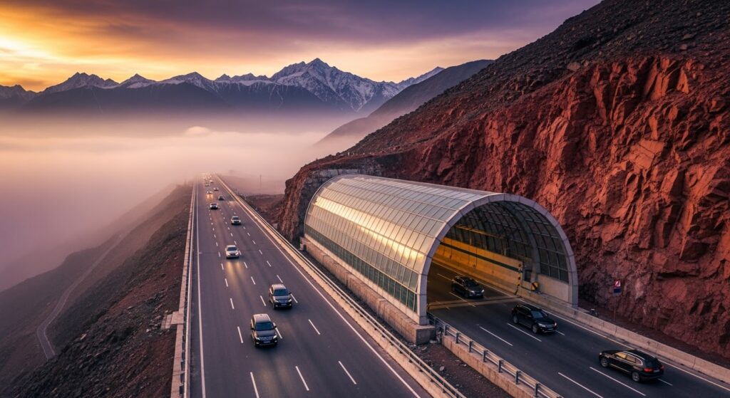
- Even highly engineered corridors can experience temporary closures.
- The right way to think about Himalayan road safety is therefore:
- better infrastructure reduces risk—it does not eliminate it.
What Has Improved?
One of the most visible changes is the increasing use of engineering solutions designed specifically for difficult mountain terrain.
These include:
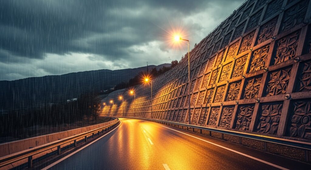
- Retaining structures:- Where slopes have been cut for roads, retaining and stabilization structures can help support vulnerable sections.
- Rockfall protection:- In areas beneath unstable cliffs, protective structures and barriers can reduce the danger from falling rocks.
- Drainage:- This may be less visually impressive than a tunnel or bridge, but it is critically important.
Water is one of the biggest enemies of mountain roads.
Poor drainage can saturate slopes, weaken road surfaces and contribute to slope instability.
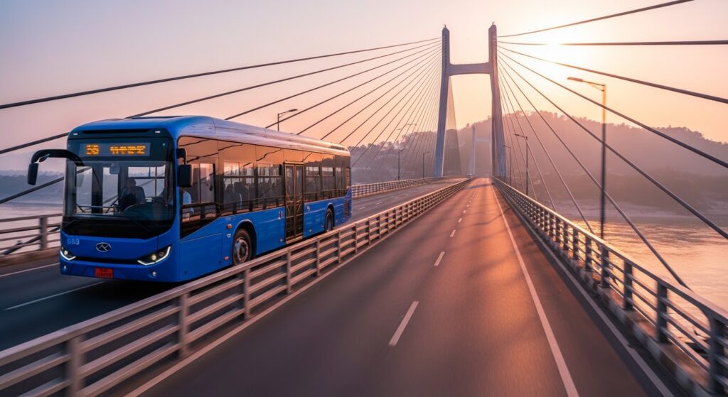
- Bridges:- New and improved bridges can eliminate some of the narrow crossings and bottlenecks that previously slowed traffic.
- Road widening:- Wider carriageways can improve traffic flow and reduce the pressure created by two-way traffic on narrow mountain sections.
But wider doesn’t necessarily mean safer under every condition.
The engineering must be combined with slope stability and drainage management. - Tunnels: The Most Dramatic Solution
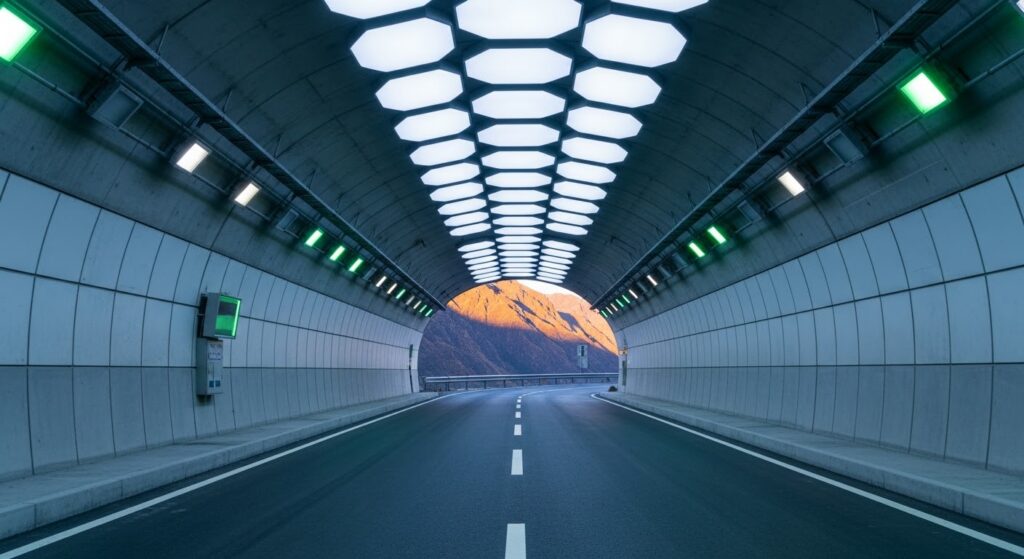
Few infrastructure projects attract as much attention as Himalayan tunnels.
A tunnel can bypass a dangerous section of mountain terrain and reduce the need to repeatedly climb and descend around difficult slopes.
For travellers, that can mean:
- less distance + fewer exposed road sections + potentially more predictable travel.
- But tunnel safety involves much more than simply digging through a mountain.
A properly designed tunnel needs consideration of:
- ventilation
- lighting
- drainage
- emergency exits or evacuation arrangements
- fire safety
- communication
- structural monitoring
- emergency response
And importantly, a tunnel doesn’t eliminate the geology of the mountain.
It simply moves the road through it.
That is why tunnel construction in the Himalayas requires sophisticated geological assessment and continuing monitoring.
The Srinagar and Agastyamuni Bottlenecks
For years, towns along the pilgrimage corridor have created significant traffic problems during peak Yatra periods.
Pilgrim buses, taxis, local traffic, supply vehicles and commercial traffic can converge on the same narrow mountain corridors.
Bypasses and improved road alignments are designed to reduce this pressure.
For pilgrims, the benefit isn’t merely saving a few kilometres.
The bigger benefit is predictability.
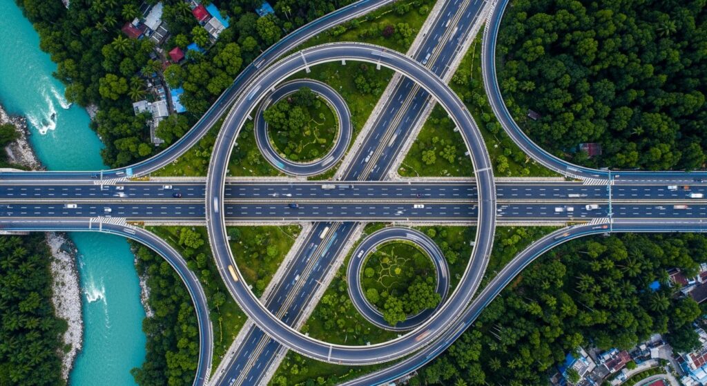
A 20-km section that takes an hour under normal conditions can take considerably longer when traffic becomes congested.
During peak pilgrimage periods, avoiding urban bottlenecks can make a significant difference to overall journey fatigue.
Rudraprayag: Where the Journey Changes Character
Rudraprayag is an important geographical and logistical point on the route.
Here the journey toward Kedarnath follows the Mandakini Valley.
From Rudraprayag onward, the mountains increasingly dominate the experience.
The road passes through a landscape of steep slopes, rivers, villages and narrow valley sections.
This is where travellers should stop thinking of the journey as an ordinary road trip.
The road may be modern.
The environment isn’t.
Guptkashi to Sonprayag: The Critical Final Section
The approach toward Sonprayag is particularly important for Kedarnath pilgrims.
The landscape becomes increasingly mountainous and the road environment more demanding.
Key locations include:
Guptkashi → Phata → Sitapur → Sonprayag
The route is popular with pilgrims because of its proximity to Kedarnath, but it is also vulnerable to weather-related disruptions.
Rain can create:
- mudslides
- rockfall
- debris on the carriageway
- reduced visibility
- slippery roads
- temporary traffic restrictions
This is why the final approach should never be treated casually during heavy monsoon conditions.
Sonprayag Is Not Kedarnath
One common mistake among first-time visitors is to think that reaching Sonprayag means the difficult part is over.
It doesn’t.
For most pilgrims, Sonprayag is effectively the end of the conventional road journey.
The journey continues toward Gaurikund, followed by the trek to Kedarnath.
The approximately 17-km Gaurikund–Kedarnath route is an entirely different travel challenge.
So the complete journey should be viewed as three separate stages:
Stage 1
Haridwar/Rishikesh → Rudraprayag
Primarily a long mountain road journey.
Stage 2
Rudraprayag → Guptkashi → Sonprayag
Increasingly mountainous and weather-sensitive.
Stage 3
Sonprayag/Gaurikund → Kedarnath
A high-altitude pilgrimage trek.
Improvement in the highway does not make the trek easier.
Is the New Kedarnath Road Safe in 2026?
The most responsible answer is:
Safer in many respects—but not risk-free.
Modern road engineering has improved the corridor considerably.
But the Himalayas remain an active geological environment.
There is no realistic engineering system that can guarantee that a road through steep Himalayan terrain will remain open regardless of weather.
Therefore, pilgrims should distinguish between:
infrastructure quality
and
real-time road conditions.
The first can improve over years.
The second can change within hours.
Don’t Trust Yesterday’s Road Status
This is perhaps the most important advice for 2026 pilgrims.
A traveller may hear:
“The road was completely clear yesterday.”
That doesn’t guarantee anything for today’s journey.
Before leaving, check current information from official Uttarakhand authorities, local administration and reliable transport operators.
Particularly during monsoon periods, allow substantial time for unexpected delays.
If your flight, train or hotel booking depends on reaching a particular destination at a precise hour, avoid building the itinerary around optimistic Himalayan driving times.
The Best Travel Strategy for 2026
For pilgrims travelling toward Kedarnath, the safest strategy isn’t simply finding the fastest vehicle.
It is building flexibility into the journey.
- Start early:- Morning travel generally provides more daylight and leaves greater flexibility if delays occur later.
- Avoid unnecessary night driving:- Mountain roads are considerably more demanding after dark, particularly during rain or poor visibility.
- Keep buffer time:- Don’t schedule your Haridwar-to-Sonprayag journey so tightly that a two-hour delay destroys your entire itinerary.
- Monitor weather:- Rainfall forecasts are especially important during the monsoon.
- Follow local restrictions:- If authorities restrict movement because of landslides, heavy rainfall or other hazards, don’t attempt to bypass the restriction.
Use experienced mountain drivers
A driver familiar with Uttarakhand’s roads can make a major difference, especially on difficult sections.
Road vs Helicopter: What Should Pilgrims Choose?
The road remains the most accessible option for the majority of travellers.
It is also the journey that allows you to experience the transformation of the landscape—from the Ganga plains to the dramatic Mandakini Valley.
Helicopter services can dramatically reduce travel time for eligible routes, but they are particularly sensitive to weather conditions.
A helicopter ticket is therefore not an absolute guarantee of travel.
For most pilgrims, the practical strategy is:
Road to Sonprayag + onward pilgrimage logistics, while keeping contingency time for weather disruptions.
The Real Achievement of the New Infrastructure
It would be unfair to judge the new Himalayan infrastructure only by whether landslides still occur.
The correct question is:
- Has engineering reduced the vulnerability and improved connectivity compared with the past?
- In many sections, the answer is clearly yes.
- Modern bridges can replace dangerous crossings.
- Improved road geometry can reduce bottlenecks.
- Slope protection can mitigate certain hazards.
- Better drainage can reduce water-related damage.
- Tunnels can bypass difficult terrain.
And improved connectivity can benefit not only pilgrims but also communities that depend on these roads throughout the year.
But the mountains retain the final word.
The Future of the Kedarnath Journey
The next stage of Uttarakhand’s infrastructure development will likely be about more than simply making roads wider.
The bigger challenge is creating resilient mountain infrastructure.
That means:
- better geological monitoring
- improved slope stabilization
- stronger drainage
- faster landslide clearance
- real-time weather information
- better emergency communication
- safer traffic management
- careful environmental planning
The ultimate objective should not be to “conquer” the Himalayas.
It should be to work with the terrain rather than against it.
Final Verdict: Is Haridwar to Sonprayag Ready for 2026?
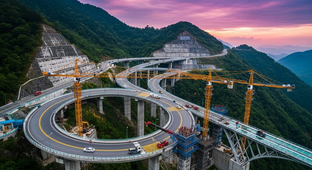
The transformation is visible in new road sections, bridges, protection structures, improved alignments and other infrastructure projects across the Char Dham corridor.
But no traveller should interpret this modernization as a guarantee against Himalayan hazards.
The road has become stronger. The mountain has not become predictable.
For pilgrims, that distinction is crucial.
Plan intelligently.
Start early.
Check the latest road and weather conditions.
Keep a buffer day whenever possible.
And remember that reaching Kedarnath isn’t a race against the clock.
It is a journey through one of India’s most dramatic and fragile landscapes.
Modern engineering may make the journey faster and safer—but in the Himalayas, nature still gets the final vote.