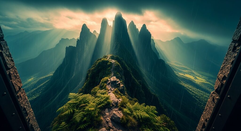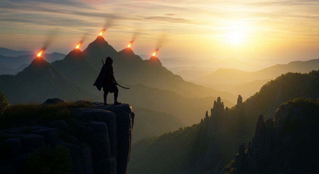
The Maratha military story is usually told through imposing forts—Raigad, Rajgad, Pratapgad, Sinhagad, and dozens of other celebrated strongholds that dominate Maharashtra’s historical landscape. But the empire’s defense was never dependent on forts alone. Scattered across the Sahyadri ridges were smaller lookout posts, fortified spurs, signal points, and strategically positioned hilltops that helped armies understand what was happening across enormous distances. These lesser-known locations formed an important layer of the region’s military geography.
Following such a trail today is less about discovering a single monument and more about reconstructing a system. The objective is to understand how elevation, visibility, terrain, and communication worked together in a landscape where every mountain could become an observation platform.
During the 2026 monsoon, that landscape becomes both spectacular and challenging. Dense vegetation can conceal stonework, rain makes basalt dangerously slippery, and mist can reduce visibility within minutes. What once gave a lookout an enormous strategic advantage can now make navigation surprisingly difficult.
Beyond the Fortress Gates
Walk through a famous Maratha fort today and you will usually encounter crowds, restored gateways, information boards, food stalls, and clearly marked routes. But move away from the major tourist circuits and the Sahyadris tell a quieter story.
Small ruined structures appear on ridgelines. A few dressed stones emerge from vegetation. A rock-cut cistern sits beside a forgotten trail. A flat section of basalt provides an uninterrupted view across a valley
These may not resemble traditional forts, but their locations can reveal their importance.
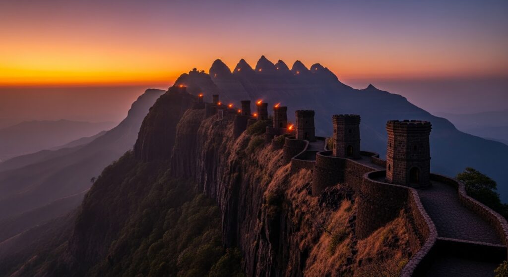
The Maratha military system relied heavily on knowledge of terrain. Hills provided natural observation platforms, while valleys and passes created predictable routes for people, animals, armies, and commercial traffic. A lookout positioned correctly could observe movement long before an approaching force reached a major settlement.
The challenge for the modern explorer is identifying which remains were genuinely military watch posts and which are simply later structures or natural features. Not every isolated stone wall should automatically be described as a Maratha intelligence station.
The Geometry of Defense
The most fascinating aspect of these hilltop positions is their geography.
Imagine standing on a high basalt ridge overlooking a valley. Below you are the roads and passes connecting one settlement with another. Behind you is another mountain. In the distance is a fort.
- From a modern perspective, this might look like an ordinary landscape.
- From a military perspective, it is a surveillance network.
- Elevation provides visibility.
- Ridges provide communication corridors.
- Valleys provide predictable movement routes.
And strategically placed hilltops can connect one observation point with another.
The first two locations on our trail demonstrate this principle particularly well. Their value isn’t necessarily the size of the surviving structure but the view from the summit. From a suitable high point, observers could scan approaches across valleys and relay warnings toward larger fortified centers.
The important point is that historical communication should not be exaggerated into modern concepts such as instantaneous long-distance messaging. Signals—whether visual, acoustic, or carried by runners—had practical limitations. But a chain of elevated observation points could dramatically reduce the time required to communicate information across mountainous terrain.
Basalt: The Natural Architecture of the Sahyadris
The Sahyadris were shaped by volcanic basalt, and Maratha-era builders understood how to exploit this natural environment.
Instead of constructing every defensive position as a massive masonry fortification, smaller posts could take advantage of cliffs, ridges, caves, and naturally defensible rock formations.
The mountain itself became part of the defense.
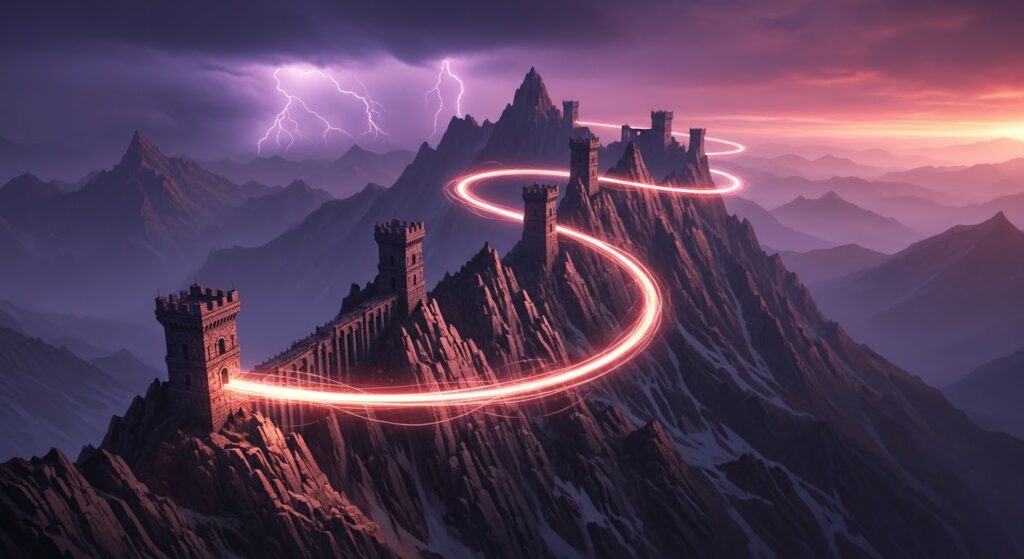
A structure positioned against a dark basalt cliff could be difficult to identify from a distance. A narrow approach meant that a small group of defenders could potentially monitor or control access without maintaining a large garrison.
This combination of natural geography and human engineering is one of the defining characteristics of Deccan military architecture.
Tracing the Signal Chain
The third point on the route represents the transition between coastal Maharashtra and the elevated Deccan plateau.
This is where geography becomes especially important.
The Sahyadri escarpment separates the Konkan coast from the Deccan interior. Historically, passes through this mountain barrier were strategically important because they connected ports, markets, settlements, and political centers.
A lookout positioned above one of these corridors could potentially observe movement through the pass.
But surveillance was only useful if the people stationed there could survive.
That brings us to another fascinating feature frequently encountered around old hill settlements: rock-cut water cisterns.
Water Was the Real Strategic Asset
A mountain outpost without water could not remain operational for long.
Rainwater harvesting was therefore essential.
Rock-cut cisterns allowed communities and military units to collect and store monsoon rainfall. Some surviving reservoirs are remarkably sophisticated, with channels carved into rock to direct water into storage chambers.
Other sites contain traces of storage spaces that may have supported temporary occupation.
However, claims that a particular cistern or granary housed soldiers for “months” should be treated cautiously unless supported by archaeological evidence. What can be established more confidently is that water storage was fundamental to the sustainability of hilltop settlements and defensive positions across the Deccan.
For the modern trekker, these abandoned cisterns provide a fascinating glimpse into the practical side of mountain warfare.
A fort can look impressive.
A water tank explains how people actually lived there.
An Early-Warning System Across the Mountains
The Maratha military system developed in a landscape where information was as valuable as weapons.
Knowing that an enemy force had entered a particular valley could determine whether troops remained at a fort, moved toward another position, evacuated supplies, or prepared for battle.
Observation posts therefore served as an early-warning layer.

The system was particularly valuable against movements through major mountain passes.
However, it is important to distinguish between historical evidence and romanticized modern interpretations. The Sahyadri landscape certainly supported sophisticated systems of observation and communication, but claims that messages routinely traveled “hundreds of miles in minutes” should not be taken literally without documentary evidence.
The real achievement was more practical—and arguably more impressive.
The Marathas understood the landscape well enough to turn mountains into an information network.
- The Fourth Peak: Survival Above the Valley
- The fourth section of the trail becomes physically demanding.
- The path narrows.
- The basalt becomes slippery.
- Vegetation obscures the route.
During the monsoon, rainwater runs directly over sections of exposed rock, transforming apparently easy climbs into technical scrambling.
This is where modern trekkers gain a new appreciation for the people who once moved through these mountains regularly.
The Mavalas, the hardy communities associated with the western Deccan and the Maratha military tradition, developed exceptional familiarity with the Sahyadri terrain. Their knowledge of ridges, passes, forests, water sources, and hidden approaches was itself a military resource.
A modern trekker carrying a GPS-enabled phone still has an advantage that a 17th-century scout never possessed.
Yet the old routes can remain surprisingly difficult to navigate.
- Four Centuries of Monsoon
- The Sahyadri monsoon is unforgiving.
- Every year, thousands of millimeters of rainfall attack exposed stone.
- Vegetation grows through cracks.
- Water erodes joints.
- Roots disturb masonry.
- Slopes gradually collapse.
- And yet fragments of old construction continue to survive.
The surviving stonework demonstrates the durability of traditional masonry, but it also reminds us that these sites are not indestructible. Without documentation and conservation, smaller historical structures can disappear beneath vegetation or collapse unnoticed.
Their greatest threat isn't always dramatic destruction.

- Sometimes it is simply being forgotten.
- The Psychology of the Watchman
- Imagine spending the night on an isolated ridge.
- There is no mobile network.
- No electric light.
- No weather forecast.
- No satellite imagery.
Only darkness, wind, and the distant outline of mountains.
Your responsibility is to watch.
If movement appears in the valley, someone must decide whether it matters.
If a signal needs to be sent, it must be done quickly.
The psychological pressure must have been enormous.
The importance of a lookout was not measured by the number of soldiers stationed there. It was measured by the information that person could provide.
The watchman was effectively the kingdom’s early-warning sensor.
The Final Summit
After tracing the chain through four difficult positions, the final summit provides the reward.
The landscape opens.
The ridges that appeared isolated earlier suddenly begin to make sense as parts of a larger geographical system.
- One mountain connects to another.
- A valley leads toward a pass.
- A distant fort appears on the horizon.
- The terrain itself becomes the map.
This is perhaps the most powerful realization of the entire expedition: the Maratha military landscape was not built independently of nature.
- It was designed around nature.
- The Intelligence Network Hidden in the Landscape
The five-peak journey demonstrates an important principle of pre-modern warfare.
- Technology wasn’t limited to weapons.
- Geography was technology.
- Elevation was technology.
- Visibility was technology.
- Local knowledge was technology.
A strategically selected hill could provide surveillance without requiring sophisticated machinery.
- A rock-cut cistern could extend the operational life of an outpost.
- A communication chain could transfer information from one ridge to another.
And a network of forts, passes, villages, and observation points could transform an enormous mountainous region into a coordinated defensive landscape.
That is the real intelligence trail of the Sahyadris.
Preserving the Last Watchman's Legacy
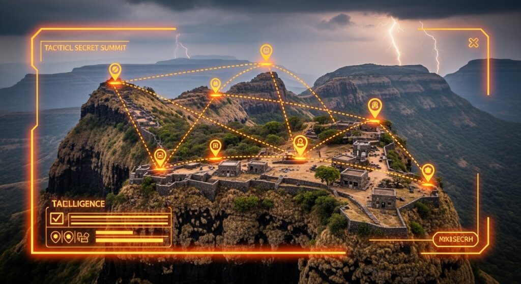
Many lesser-known military sites do not have the visibility or protection enjoyed by Maharashtra’s major forts. Vegetation, erosion, unplanned construction, vandalism, and irresponsible tourism can gradually erase what remains.
The first step toward preservation is documentation.
- Photographs.
- GPS coordinates.
- Architectural surveys.
- Historical research.
- 3D scans.
- Drone imagery where legally permitted.
But documentation should never mean unrestricted publication of sensitive locations that could encourage vandalism or unsafe exploration. Some fragile sites are better protected when access remains controlled.
Local communities should also be part of conservation efforts because they often possess knowledge of forgotten paths, water structures, and oral traditions that do not appear in official records.
Travel Responsibly Through the Sahyadris
Anyone attempting a multi-peak heritage trail during the monsoon should prioritize safety over completing the route.
Carry proper trekking shoes with strong grip, rain protection, sufficient water and food, a power bank, first-aid supplies, and offline maps. Avoid isolated trails during severe weather and never attempt dangerous cliff sections simply to reproduce a photograph.
If a site lies within a protected forest or wildlife sanctuary, follow all applicable permissions and access rules.
And most importantly, leave the ruins exactly as you found them.
- Do not carve names into stones.
- Do not remove artifacts.
- Do not disturb old masonry.
- Do not enter unsafe structures.
The goal is to understand the landscape—not to become part of its archaeological damage.
The Last Watchman's View

Standing on the final summit, the modern traveler can begin to understand what the ancient lookout saw.
- The mountains stretch endlessly.
- Valleys disappear beneath clouds.
- Old forts emerge from distant ridges.
- Modern highways appear as thin lines across the landscape.
- But the fundamental geography remains.
- The same passes still cut through the mountains.
- The same ridges still dominate the valleys.
- The same basalt still rises from the earth.
Four centuries ago, someone may have stood on a similar summit watching the horizon for movement.
Today, we stand there looking backward.
The Maratha intelligence trail is ultimately not a story about five forgotten peaks. It is a story about how deeply a military culture understood its environment.
Before satellites, radar, drones, and digital maps, the Sahyadris themselves provided the surveillance network.
- The mountains were the watchtowers.
- The valleys were the corridors.
- The cisterns were the lifelines.
- The scouts were the intelligence system.
- And the landscape was the map.
That forgotten system deserves to be studied, documented, and protected—not merely as a chapter of Maratha military history, but as evidence of an indigenous mastery of geography, engineering, and strategic thinking that remains written quietly across the mountains.